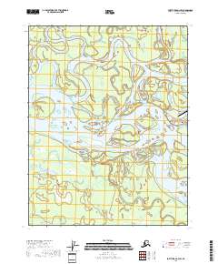
2018 Map of Fort Yukon C-3 SW
USGS Topo · Published 2018About this map
The confluence of the Yukon River and the Porcupine River dominates this interior Alaska landscape, showcasing a complex network of braided channels and river islands. The map highlights the critical hydrological junction where the Upper Mouth Porcupine River and Lower Mouth Porcupine River meet the main stem of the Yukon. This area is characterized by shifting sandbars and significant landmasses within the river system, such as Homebrew Island and Toussaint Island.
Find a feature on this map
18 named features on this map. Tap any name to fly to it.
Don’t see what you’re looking for? This feature index may not catch every label — zoom into the map to look around manually.
Map Details
Editions of this 2018 Fort Yukon C-3 SW Map
This is the sole edition of this map. No revisions or reprints were ever made.
Other maps of this area

1951 · Fort Yukon
USGS Topo · 1:250,000

1952 · Fort Yukon C-3
USGS Topo · 1:63,360

1952 · Fort Yukon C-4
USGS Topo · 1:63,360

1955 · Fort Yukon C-3
USGS Topo · 1:63,360

1956 · Fort Yukon B-4
USGS Topo · 1:63,360

1956 · Fort Yukon B-3
USGS Topo · 1:63,360

1956 · Fort Yukon
USGS Topo · 1:250,000
1956 · Fort Yukon C-4
USGS Topo · 1:63,360
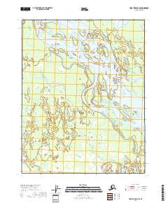
2018 · Fort Yukon B-3 NE
USGS Topo · 1:25,000
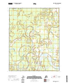
2018 · Fort Yukon C-3 NE
USGS Topo · 1:25,000