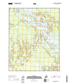
2018 Map of Fort Yukon B-3 NE
USGS Topo · Published 2018About this map
Yukon Flats dominate this landscape, where the shifting waters of the Yukon River create an intricate network of secondary channels and wetlands. In this 2018 survey, the river divides around Twelvemile Island, a prominent landform within a complex system of side streams. The presence of Seventeenmile Slough and Ninemile Lake in the northern portion of the quadrangle illustrates the highly dynamic hydrography of the region. The map captures the natural drainage patterns that define this part of the interior, with no infrastructure or permanent settlements noted. The land is meticulously divided by the Public Land Survey System into townships like t19n r12e and t18n r13e, providing a precise grid over this remote subarctic riverine environment.
Find a feature on this map
9 named features on this map. Tap any name to fly to it.
Don’t see what you’re looking for? This feature index may not catch every label — zoom into the map to look around manually.
Map Details
Editions of this 2018 Fort Yukon B-3 NE Map
This is the sole edition of this map. No revisions or reprints were ever made.
Other maps of this area

1951 · Fort Yukon
USGS Topo · 1:250,000

1952 · Fort Yukon C-2
USGS Topo · 1:63,360

1952 · Fort Yukon C-3
USGS Topo · 1:63,360

1955 · Fort Yukon C-3
USGS Topo · 1:63,360

1956 · Fort Yukon B-3
USGS Topo · 1:63,360

1956 · Fort Yukon B-2
USGS Topo · 1:63,360

1956 · Fort Yukon
USGS Topo · 1:250,000
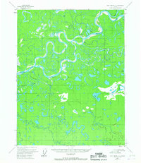
1956 · Fort Yukon C-2
USGS Topo · 1:63,360
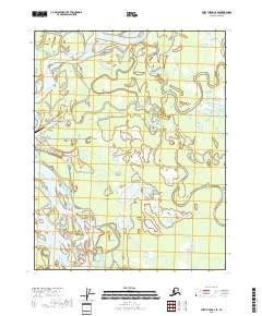
2018 · Fort Yukon C-3 SE
USGS Topo · 1:25,000
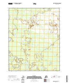
2018 · Fort Yukon B-3 SW
USGS Topo · 1:25,000