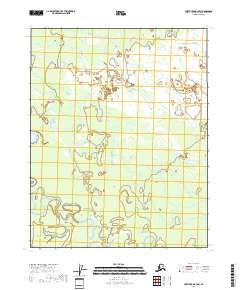
2018 Map of Fort Yukon B-3 SW
USGS Topo · Published 2018About this map
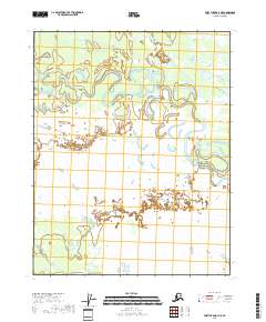
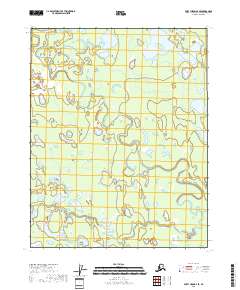
Birch Creek winds through this interior landscape, exhibiting a highly sinuous and braided channel pattern characteristic of the Yukon River drainage basin. The watercourse meanders extensively across the southern portion of the quadrangle, creating complex oxbows and shifts in the riparian terrain. Within one of these significant bends lies Egil Island, a distinct landform shaped by the shifting hydrologic forces of the creek. The remainder of the sheet is dominated by an intricate network of wetlands and small ponds, reflecting the permafrost-influenced drainage of the Yukon-Koyukuk region. This 2018 study emphasizes the fluid nature of the subarctic environment, where land and water boundaries are constantly redefined by seasonal flow and sediment transport.
Find a feature on this map
8 named features on this map. Tap any name to fly to it.
Don’t see what you’re looking for? This feature index may not catch every label — zoom into the map to look around manually.
Map Details
Editions of this 2018 Fort Yukon B-3 SW Map
This is the sole edition of this map. No revisions or reprints were ever made.
Other maps of this area

1951 · Fort Yukon
USGS Topo · 1:250,000

1956 · Fort Yukon B-4
USGS Topo · 1:63,360

1956 · Fort Yukon A-4
USGS Topo · 1:63,360

1956 · Fort Yukon B-3
USGS Topo · 1:63,360
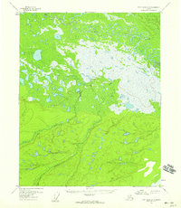
1956 · Fort Yukon A-3
USGS Topo · 1:63,360

1956 · Fort Yukon
USGS Topo · 1:250,000
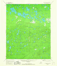
1966 · Fort Yukon A-4
USGS Topo · 1:63,360
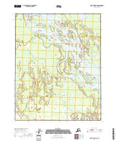
2018 · Fort Yukon B-3 NE
USGS Topo · 1:25,000
2018 · Fort Yukon A-3 NE
USGS Topo · 1:25,000
2018 · Fort Yukon B-4 SE
USGS Topo · 1:25,000