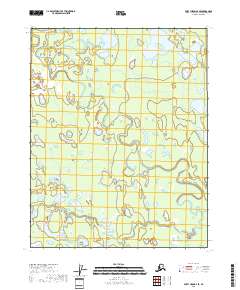
2018 Map of Fort Yukon B-4 SE
USGS Topo · Published 2018About this map
Upper Mouth Birch Creek and Lower Mouth Birch Creek dominate this subarctic landscape within the Yukon-Koyukuk region. The area is characterized by an intricate network of wetlands and meanders, illustrating the dynamic hydrology of the Alaskan interior where river systems frequently shift and braid across the low-lying terrain. The presence of Hat-lie-Lakes in the northeastern quadrant suggests a series of thaw lakes common in permafrost-affected regions, providing critical habitat within the larger watershed. Further south, the map details the path of Discovery Creek, which joins the larger aquatic system amidst a complex of unnamed ponds and marshes. This 2018 survey captures the contemporary state of these waterways before seasonal flooding or long-term climatic shifts alter the fragile drainage patterns of the boreal wilderness.
Find a feature on this map
9 named features on this map. Tap any name to fly to it.
Don’t see what you’re looking for? This feature index may not catch every label — zoom into the map to look around manually.
Map Details
Editions of this 2018 Fort Yukon B-4 SE Map
This is the sole edition of this map. No revisions or reprints were ever made.
Other maps of this area

1951 · Fort Yukon
USGS Topo · 1:250,000

1956 · Fort Yukon B-4
USGS Topo · 1:63,360

1956 · Fort Yukon A-4
USGS Topo · 1:63,360

1956 · Fort Yukon B-3
USGS Topo · 1:63,360
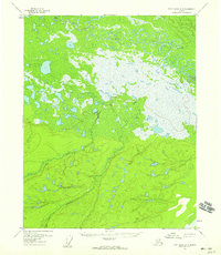
1956 · Fort Yukon A-3
USGS Topo · 1:63,360

1956 · Fort Yukon
USGS Topo · 1:250,000
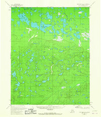
1966 · Fort Yukon A-4
USGS Topo · 1:63,360
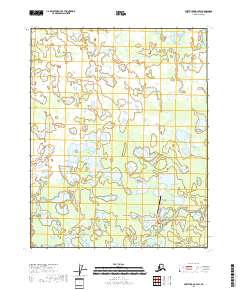
2018 · Fort Yukon B-4 SW
USGS Topo · 1:25,000
2018 · Fort Yukon A-4 NE
USGS Topo · 1:25,000
2018 · Fort Yukon B-3 SW
USGS Topo · 1:25,000