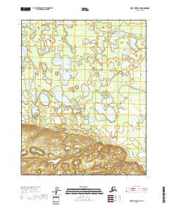
2018 Map of Fort Yukon A-4 NE
USGS Topo · Published 2018About this map
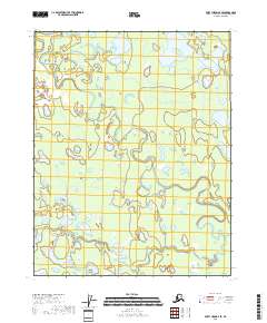
The lowlands of the Yukon Flats dominate this landscape, characterized by an intricate network of wetlands and small water bodies that shift across the terrain. This interior Alaskan region is defined by its hydrologic complexity, where meandering drainages like Discovery Creek thread through a dense concentration of unnamed ponds and marshes. The map reveals a wild, roadless expanse where the natural topography is shaped more by seasonal water cycles than human development.
Find a feature on this map
9 named features on this map. Tap any name to fly to it.
Don’t see what you’re looking for? This feature index may not catch every label — zoom into the map to look around manually.
Map Details
Editions of this 2018 Fort Yukon A-4 NE Map
This is the sole edition of this map. No revisions or reprints were ever made.
Other maps of this area

1951 · Fort Yukon
USGS Topo · 1:250,000

1956 · Fort Yukon B-4
USGS Topo · 1:63,360

1956 · Fort Yukon A-4
USGS Topo · 1:63,360

1956 · Fort Yukon B-3
USGS Topo · 1:63,360
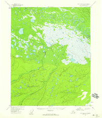
1956 · Fort Yukon A-3
USGS Topo · 1:63,360

1956 · Fort Yukon
USGS Topo · 1:250,000
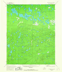
1966 · Fort Yukon A-4
USGS Topo · 1:63,360
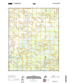
2018 · Fort Yukon B-4 SW
USGS Topo · 1:25,000
2018 · Fort Yukon B-4 SE
USGS Topo · 1:25,000

2018 · Fort Yukon A-4 SW
USGS Topo · 1:25,000