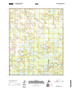
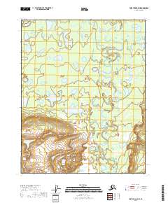
2018 Map of Fort Yukon B-4 SW
USGS Topo · Published 2018About this map
The winding waters of Birch Creek dominate this 2018 survey within the Yukon-Koyukuk Census Area, illustrating the complex hydrology of the interior Alaskan landscape. This region is characterized by a dense network of lakes and marshes, connected by the branching paths of Upper Mouth Birch Creek and Lower Mouth Birch Creek. The presence of the Birch Creek Airport highlights the critical role of aviation in accessing this remote terrain, where traditional overland routes remain sparse. Navigation across the wetlands is supported by the Fort Yukon Trail, which cuts across the southern portion of the quadrangle near Landfill Road. The map provides a detailed look at the Public Land Survey System grid, including boundaries for t18n r9e and t17n r9e, reflecting the administrative organization of the vast northern wilderness.
Find a feature on this map
10 named features on this map. Tap any name to fly to it.
Don’t see what you’re looking for? This feature index may not catch every label — zoom into the map to look around manually.
Map Details
Editions of this 2018 Fort Yukon B-4 SW Map
This is the sole edition of this map. No revisions or reprints were ever made.
Other maps of this area

1951 · Fort Yukon
USGS Topo · 1:250,000

1956 · Fort Yukon B-4
USGS Topo · 1:63,360

1956 · Fort Yukon A-4
USGS Topo · 1:63,360

1956 · Fort Yukon A-5
USGS Topo · 1:63,360

1956 · Fort Yukon B-5
USGS Topo · 1:63,360

1956 · Fort Yukon
USGS Topo · 1:250,000
1966 · Fort Yukon A-4
USGS Topo · 1:63,360
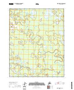
2018 · Fort Yukon B-4 SE
USGS Topo · 1:25,000
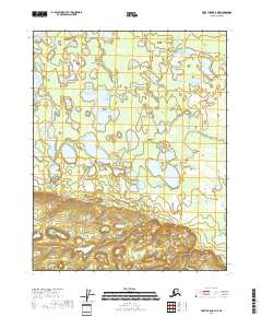
2018 · Fort Yukon A-4 NE
USGS Topo · 1:25,000
2018 · Fort Yukon A-5 NE
USGS Topo · 1:25,000