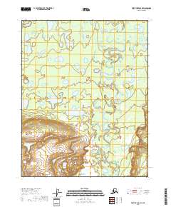
2018 Map of Fort Yukon A-5 NE
USGS Topo · Published 2018About this map
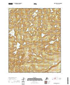
Yukon Flats defines the interior landscape of this remote subarctic region, characterized by an intricate network of wetlands and ephemeral water bodies. The serpentine path of Beaver Creek winds southward through the eastern portion of the map, carving through a terrain marked by numerous oxbow lakes and ponds. This hydraulic pattern reveals a highly active floodplain where the waterway constantly reshapes the surrounding marshes and lowlands. While the northern reaches are dominated by these low-lying saturated areas, the southern sections begin to show more defined relief as the elevation rises away from the primary creek bed. The absence of roads or established settlements emphasizes the wilderness character of this area within the Yukon Flats region, where the natural drainage system of Beaver Creek remains the primary geographical feature.
Find a feature on this map
7 named features on this map. Tap any name to fly to it.
Don’t see what you’re looking for? This feature index may not catch every label — zoom into the map to look around manually.
Map Details
Editions of this 2018 Fort Yukon A-5 NE Map
This is the sole edition of this map. No revisions or reprints were ever made.
Other maps of this area

1951 · Fort Yukon
USGS Topo · 1:250,000

1956 · Fort Yukon B-4
USGS Topo · 1:63,360

1956 · Fort Yukon A-4
USGS Topo · 1:63,360

1956 · Fort Yukon A-5
USGS Topo · 1:63,360

1956 · Fort Yukon B-5
USGS Topo · 1:63,360

1956 · Fort Yukon
USGS Topo · 1:250,000
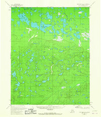
1966 · Fort Yukon A-4
USGS Topo · 1:63,360
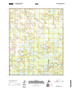
2018 · Fort Yukon B-4 SW
USGS Topo · 1:25,000
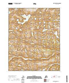
2018 · Fort Yukon A-5 SW
USGS Topo · 1:25,000
2018 · Fort Yukon A-4 SW
USGS Topo · 1:25,000