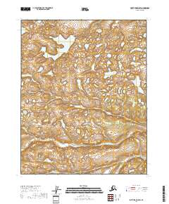
2018 Map of Fort Yukon A-5 SW
USGS Topo · Published 2018About this map
Glacial landforms and an intricate network of wetlands dominate this subarctic landscape in the T15n R6e and T15n R7e townships. The terrain is characterized by a dense concentration of small lakes and ponds, typical of the Yukon River basin's hydrologic patterns. These water bodies are situated within the shifting drainage of the T14n R6e and T14n R7e survey divisions. The topographical data, derived from the National Elevation Dataset, reveals a complex relief of low-lying depressions and subtle rises that define the region's distinctive hydrography. This 2018 survey provides a precise record of the shoreline and elevation contours as they existed at the end of the second decade of the 21st century, serving as a baseline for environmental and geological study in this remote interior section of Alaska.
Find a feature on this map
4 named features on this map. Tap any name to fly to it.
Don’t see what you’re looking for? This feature index may not catch every label — zoom into the map to look around manually.
Map Details
Editions of this 2018 Fort Yukon A-5 SW Map
This is the sole edition of this map. No revisions or reprints were ever made.
Other maps of this area

1951 · Fort Yukon
USGS Topo · 1:250,000

1951 · Circle
USGS Topo · 1:250,000

1951 · Circle D-6
USGS Topo · 1:63,360

1952 · Circle D-5
USGS Topo · 1:63,360

1954 · Circle D-5
USGS Topo · 1:63,360

1954 · Circle D-6
USGS Topo · 1:63,360

1955 · Circle
USGS Topo · 1:250,000
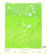
1956 · Fort Yukon A-6
USGS Topo · 1:63,360

1956 · Fort Yukon A-5
USGS Topo · 1:63,360

1956 · Fort Yukon
USGS Topo · 1:250,000