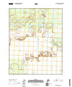
2018 Map of Fort Yukon A-3 NE
USGS Topo · Published 2018About this map
Birch Creek meanders heavily through this portion of the Yukon-Koyukuk Census Area, creating a complex network of oxbow lakes and abandoned river channels. This wetland landscape in northern Alaska, captured in 2018, is defined by the shifting course of the water across the flat terrain. Further south, Discovery Cr flows through the lower reaches of the quadrangle. The map highlights the vast stretches of marsh and water-saturated soil that characterize this subarctic interior region, where seasonal water levels dictate the shape of the land. Public land surveys such as t16n r12e and t16n r13e provide the structural grid over this predominantly natural environment, where the river's constant movement remains the primary sculptor of the local topography.
Find a feature on this map
7 named features on this map. Tap any name to fly to it.
Don’t see what you’re looking for? This feature index may not catch every label — zoom into the map to look around manually.
Map Details
Editions of this 2018 Fort Yukon A-3 NE Map
This is the sole edition of this map. No revisions or reprints were ever made.
Other maps of this area

1951 · Fort Yukon
USGS Topo · 1:250,000

1956 · Fort Yukon A-2
USGS Topo · 1:63,360

1956 · Fort Yukon B-3
USGS Topo · 1:63,360

1956 · Fort Yukon B-2
USGS Topo · 1:63,360
1956 · Fort Yukon A-3
USGS Topo · 1:63,360

1956 · Fort Yukon
USGS Topo · 1:250,000
1966 · Fort Yukon A-2
USGS Topo · 1:63,360
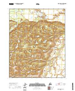
2018 · Fort Yukon A-3 SE
USGS Topo · 1:25,000
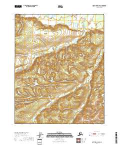
2018 · Fort Yukon A-3 SW
USGS Topo · 1:25,000
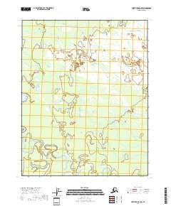
2018 · Fort Yukon B-3 SW
USGS Topo · 1:25,000