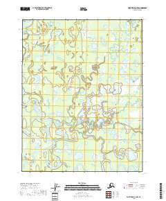
2018 Map of Fort Yukon C-4 NW
USGS Topo · Published 2018About this map
The Yukon Flats dominate this remote landscape in the late 2010s, defined by a complex network of meandering waterways and seasonal sloughs. The Teedriinjik River winds through the western portion of the quadrangle, while the Christian River carves a path through the central and southern reaches. This environment is characterized by an intricate drainage pattern where features like Cutoff Slough and Crazy Slough illustrate the dynamic nature of the fluvial system.
Find a feature on this map
12 named features on this map. Tap any name to fly to it.
Don’t see what you’re looking for? This feature index may not catch every label — zoom into the map to look around manually.
Map Details
Editions of this 2018 Fort Yukon C-4 NW Map
This is the sole edition of this map. No revisions or reprints were ever made.
Other maps of this area

1951 · Fort Yukon
USGS Topo · 1:250,000

1952 · Fort Yukon C-4
USGS Topo · 1:63,360

1955 · Fort Yukon D-4
USGS Topo · 1:63,360

1955 · Fort Yukon D-5
USGS Topo · 1:63,360

1955 · Fort Yukon C-5
USGS Topo · 1:63,360

1956 · Fort Yukon C-5
USGS Topo · 1:63,360

1956 · Fort Yukon
USGS Topo · 1:250,000
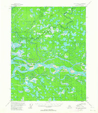
1956 · Fort Yukon C-4
USGS Topo · 1:63,360
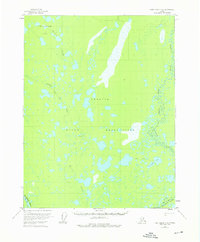
1956 · Fort Yukon D-4
USGS Topo · 1:63,360
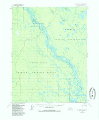
1956 · Fort Yukon D-5
USGS Topo · 1:63,360