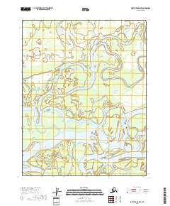
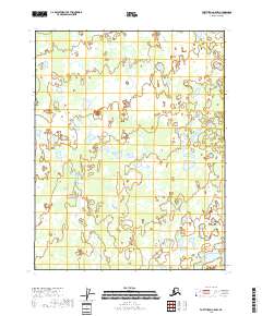
2018 Map of Fort Yukon C-5 SW
USGS Topo · Published 2018About this map
The Yukon River dominates this landscape in the Yukon-Koyukuk Census Area, carving a complex network of seasonal and permanent waterways across the interior. The river's influence is seen in the winding course of Crazy Slough, which meanders through the northern townships of t21n r6e and t21n r7e. The map documents a shifting hydrological environment where landmarks like Deadman Island and Willow Point serve as fixed navigational aids for those traveling these remote northern waters. This 2018 survey illustrates the classic braided river patterns of the Alaskan interior, showing how the main channel of the Yukon interacts with smaller sloughs and wetlands. This level of detail is essential for understanding the seasonal accessibility of the region and the geographical markers relied upon by local hunters and travelers.
Find a feature on this map
10 named features on this map. Tap any name to fly to it.
Don’t see what you’re looking for? This feature index may not catch every label — zoom into the map to look around manually.
Map Details
Editions of this 2018 Fort Yukon C-5 SW Map
This is the sole edition of this map. No revisions or reprints were ever made.
Other maps of this area

1951 · Fort Yukon
USGS Topo · 1:250,000

1955 · Fort Yukon C-5
USGS Topo · 1:63,360

1956 · Fort Yukon B-6
USGS Topo · 1:63,360

1956 · Fort Yukon C-5
USGS Topo · 1:63,360

1956 · Fort Yukon B-5
USGS Topo · 1:63,360

1956 · Fort Yukon
USGS Topo · 1:250,000
1956 · Fort Yukon C-6
USGS Topo · 1:63,360
2018 · Fort Yukon C-6 NE
USGS Topo · 1:25,000
2018 · Fort Yukon C-5 NE
USGS Topo · 1:25,000
2018 · Fort Yukon C-5 NW
USGS Topo · 1:25,000