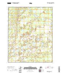
2018 Map of Fort Yukon C-6 NE
USGS Topo · Published 2018About this map
Yukon Flats defines this portion of the interior Alaskan landscape, presenting a complex mosaic of hydrologic features typical of the upper Yukon River drainage. The map is dominated by an intricate pattern of small, unnamed lakes, ponds, and extensive wetlands that shift through the low-lying terrain. While devoid of named settlements or man-made structures, the sheet reveals the underlying grid of the Public Land Survey System, delineating townships such as t22n r5e and t21n r6e. The high density of water bodies across this portion of the flats suggests a highly dynamic environment where seasonal flooding and permafrost play a significant role in the local geography, making it a valuable reference for those studying the natural history of the Yukon-Koyukuk region.
Find a feature on this map
5 named features on this map. Tap any name to fly to it.
Don’t see what you’re looking for? This feature index may not catch every label — zoom into the map to look around manually.
Map Details
Editions of this 2018 Fort Yukon C-6 NE Map
This is the sole edition of this map. No revisions or reprints were ever made.
Other maps of this area

1951 · Fort Yukon
USGS Topo · 1:250,000

1955 · Fort Yukon D-5
USGS Topo · 1:63,360

1955 · Fort Yukon C-5
USGS Topo · 1:63,360

1956 · Fort Yukon C-5
USGS Topo · 1:63,360

1956 · Fort Yukon
USGS Topo · 1:250,000
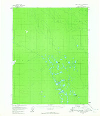
1956 · Fort Yukon D-6
USGS Topo · 1:63,360
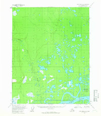
1956 · Fort Yukon C-6
USGS Topo · 1:63,360
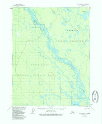
1956 · Fort Yukon D-5
USGS Topo · 1:63,360
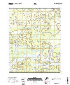
2018 · Fort Yukon C-5 SW
USGS Topo · 1:25,000
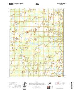
2018 · Fort Yukon C-5 NW
USGS Topo · 1:25,000