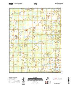
2018 Map of Fort Yukon C-5 NW
USGS Topo · Published 2018About this map
Yukon Flats dominates this portion of the interior, revealing a complex landscape of lakes, sloughs, and wetlands within the vast river basin. This 2018 survey detail provides a meticulous record of the shifting hydrography that defines the region, where countless unnamed water bodies sit within the alluvial plain. The map follows the rigid grid of the Public Land Survey System, specifically tracking the boundaries of t22n r6e, t22n r7e, t21n r6e, and t21n r7e. This specific section captures the intricate drainage patterns and saturated terrain of the Alaskan wilderness before any modern infrastructure or permanent settlements influenced the immediate environment.
Find a feature on this map
5 named features on this map. Tap any name to fly to it.
Don’t see what you’re looking for? This feature index may not catch every label — zoom into the map to look around manually.
Map Details
Editions of this 2018 Fort Yukon C-5 NW Map
This is the sole edition of this map. No revisions or reprints were ever made.
Other maps of this area

1951 · Fort Yukon
USGS Topo · 1:250,000

1955 · Fort Yukon D-5
USGS Topo · 1:63,360

1955 · Fort Yukon C-5
USGS Topo · 1:63,360

1956 · Fort Yukon C-5
USGS Topo · 1:63,360

1956 · Fort Yukon
USGS Topo · 1:250,000
1956 · Fort Yukon D-6
USGS Topo · 1:63,360
1956 · Fort Yukon C-6
USGS Topo · 1:63,360
1956 · Fort Yukon D-5
USGS Topo · 1:63,360
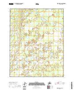
2018 · Fort Yukon C-6 NE
USGS Topo · 1:25,000
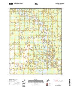
2018 · Fort Yukon D-5 SE
USGS Topo · 1:25,000