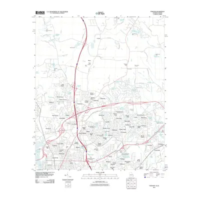
2011 Map of Fortson
USGS Topo · Published 2011About this map
Mount Gilead Cemetery and the Barin Quarry define the northern landscape of this Muscogee County area, where the community of Fortson sits along the roadway. The terrain is a complex network of residential development and water management, evidenced by numerous structures such as Bull Creek Watershed Dam Number 12 and Cooper Creek Dam. These dams have created distinctive features like the Cooper Creek Reservoir and Lake Kokoloe, supporting various neighborhoods from Victory Heights to Beallwoods.
Find a feature on this map
150 named features on this map. Tap any name to fly to it.
Don’t see what you’re looking for? This feature index may not catch every label — zoom into the map to look around manually.
Map Details
Editions of this 2011 Fortson Map
This is the sole edition of this map. No revisions or reprints were ever made.
Other maps of this area

1907 · Talbotton
USGS Topo · 1:125,000

1907 · Opelika
USGS Topo · 1:125,000

1908 · Columbus
USGS Topo · 1:62,500

1909 · Opelika
USGS Topo · 1:125,000

1914 · Seale
USGS Topo · 1:62,500

1929 · Columbus
USGS Topo · 1:48,000

1947 · Columbus
USGS Topo · 1:62,500

1949 · Midland
USGS Topo · 1:24,000

1949 · Ochillee
USGS Topo · 1:24,000

1949 · Columbus
USGS Topo · 1:24,000