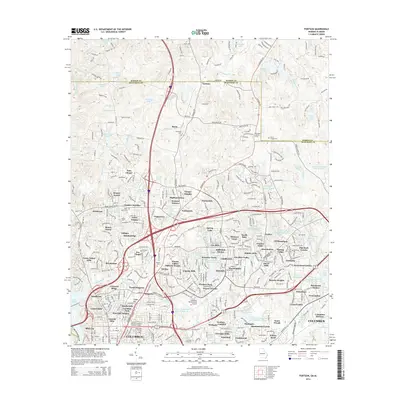
2014 Map of Fortson
USGS Topo · Published 2014About this map
Fortson and the unincorporated communities of Barin and Nankipooh define the suburban landscape north of Columbus during this 2014 survey. The map reveals a dense network of residential subdivisions and developments including Hillbrook Estates, Foxfire, and Arrowhead Estates, reflecting the rapid northward expansion of the city toward the Harris Co line. Cultural and educational infrastructure is prominent, with the Columbus State Univ campus and Beacon Univ established alongside the Airport Thruway.
Find a feature on this map
124 named features on this map. Tap any name to fly to it.
Don’t see what you’re looking for? This feature index may not catch every label — zoom into the map to look around manually.
Map Details
Editions of this 2014 Fortson Map
This is the sole edition of this map. No revisions or reprints were ever made.
Other maps of this area

1907 · Talbotton
USGS Topo · 1:125,000

1907 · Opelika
USGS Topo · 1:125,000

1908 · Columbus
USGS Topo · 1:62,500

1909 · Opelika
USGS Topo · 1:125,000

1914 · Seale
USGS Topo · 1:62,500

1929 · Columbus
USGS Topo · 1:48,000

1947 · Columbus
USGS Topo · 1:62,500

1949 · Midland
USGS Topo · 1:24,000

1949 · Ochillee
USGS Topo · 1:24,000

1949 · Columbus
USGS Topo · 1:24,000