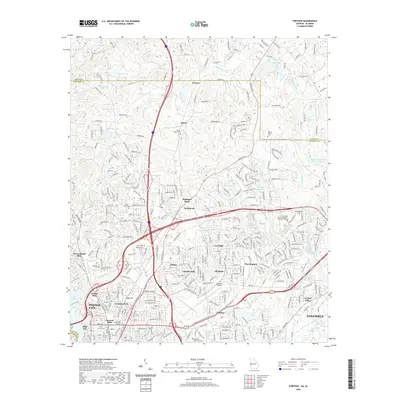
2020 Map of Fortson
USGS Topo · Published 2020About this map
Columbus and Phenix City dominate the southern landscape of this Muscogee County survey, where the suburban growth of the Georgia-Alabama border meets a complex network of creeks and small lakes. The area north of the Columbus Airport is characterized by numerous residential developments like Lincoln Hills, Lyn Hills, and Morningside, interspersed with significant educational institutions including Columbus State University and Columbus Technical College.
Find a feature on this map
310 named features on this map. Tap any name to fly to it.
Don’t see what you’re looking for? This feature index may not catch every label — zoom into the map to look around manually.
Map Details
Editions of this 2020 Fortson Map
This is the sole edition of this map. No revisions or reprints were ever made.
Other maps of this area

1907 · Talbotton
USGS Topo · 1:125,000

1907 · Opelika
USGS Topo · 1:125,000

1908 · Columbus
USGS Topo · 1:62,500

1909 · Opelika
USGS Topo · 1:125,000

1914 · Seale
USGS Topo · 1:62,500

1929 · Columbus
USGS Topo · 1:48,000

1947 · Columbus
USGS Topo · 1:62,500

1949 · Midland
USGS Topo · 1:24,000

1949 · Ochillee
USGS Topo · 1:24,000

1949 · Columbus
USGS Topo · 1:24,000