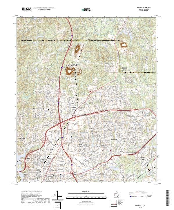
2024 Map of Fortson
USGS Topo · Published 2024About this map
Columbus expansion into the northern reaches of Muscogee County is documented here as urban residential patterns meet the Harris County line. The landscape is a mix of established neighborhoods like Nankipooh and Allendale alongside newer developments, organized around a heavy infrastructure of modern transit routes like Interstate 185 and the Veterans Pkwy. This modern connectivity contrasts with the area's rural religious roots, visible at Pierce Chapel United Methodist Church and the Mount Gilead Cem.
Find a feature on this map
70 named features on this map. Tap any name to fly to it.
Don’t see what you’re looking for? This feature index may not catch every label — zoom into the map to look around manually.
Map Details
Editions of this 2024 Fortson Map
This is the sole edition of this map. No revisions or reprints were ever made.
Other maps of this area

1907 · Talbotton
USGS Topo · 1:125,000

1907 · Opelika
USGS Topo · 1:125,000

1908 · Columbus
USGS Topo · 1:62,500

1909 · Opelika
USGS Topo · 1:125,000

1914 · Seale
USGS Topo · 1:62,500

1929 · Columbus
USGS Topo · 1:48,000

1947 · Columbus
USGS Topo · 1:62,500

1949 · Midland
USGS Topo · 1:24,000

1949 · Ochillee
USGS Topo · 1:24,000

1949 · Columbus
USGS Topo · 1:24,000