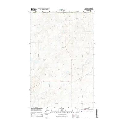
2014 Map of Fortuna
USGS Topo · Published 2014About this map
Fortuna anchors this high-plains landscape just south of the international border in the northwestern corner of North Dakota. The town serves as a critical junction for regional transit, where the north-south corridor of Us-85 meets the east-west path of Nd-5. This 2014 survey reveals a geometric grid of rural section-line roads, including 144th Ave NW and 104th St NW, that define the local agricultural layout across Divide County. The terrain is characterized by numerous small prairie potholes and depressions, reflecting the glacial history of the Missouri Plateau. While the town site of Fortuna is the primary concentrated settlement, the surrounding section lines and local roads like 3rd Ave trace the enduring footprint of rural land division and development near the Canadian border.
Find a feature on this map
21 named features on this map. Tap any name to fly to it.
Don’t see what you’re looking for? This feature index may not catch every label — zoom into the map to look around manually.
Map Details
Editions of this 2014 Fortuna Map
This is the sole edition of this map. No revisions or reprints were ever made.
Other maps of this area

1953 · Williston
USGS Topo · 1:250,000

1957 · Williston
USGS Topo · 1:250,000

1983 · Colgan West
USGS Topo · 1:24,000

1983 · Writing Rock North
USGS Topo · 1:24,000

1983 · Alkabo
USGS Topo · 1:24,000

1983 · Alexandria
USGS Topo · 1:24,000
1983 · Fortuna
USGS Topo · 1:24,000
1983 · Skjermo Lake
USGS Topo · 1:24,000

1984 · Crosby
USGS Topo · 1:100,000
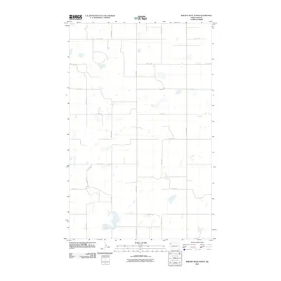
2011 · Writing Rock North
USGS Topo · 1:24,000