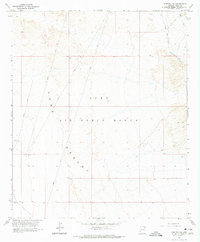
1965 Map of Fortuna SW
USGS Topo · Published 1975About this map
Luke Air Force Range dominates this mid-1960s landscape, illustrating a vast expanse of the Yuma Desert dedicated to military training and testing. The map is marked by specialized infrastructure, including an Arena and several locations designated simply as Target, reflecting the region's mid-century role in aerial and ground maneuver practice. The terrain is largely defined by open desert floor, where traditional roads are absent in favor of a network of primitive routes. The historic Camino Del Diablo crosses the northeastern corner, accompanied by various Jeep Trails that suggest a landscape primarily accessible to rugged vehicles and military personnel. This survey preserves a specific moment in the administrative management of the Arizona borderlands, where the arid environment provided an ideal isolated corridor for defense operations.
Find a feature on this map
10 named features on this map. Tap any name to fly to it.
Don’t see what you’re looking for? This feature index may not catch every label — zoom into the map to look around manually.
Map Details
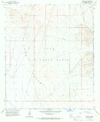
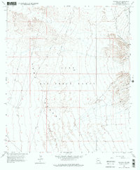
Editions of this 1965 Fortuna SW Map
3 editions found
Other maps of this area

1903 · Yuma
USGS Topo · 1:125,000

1905 · Yuma
USGS Topo · 1:125,000

1926 · Fortuna
USGS Topo · 1:62,500

1929 · Fortuna
USGS Topo · 1:62,500

1940 · Yuma
USGS Topo · 1:62,500

1942 · Yuma
USGS Topo · 1:250,000

1945 · Yuma
USGS Topo · 1:62,500

1952 · Yuma East
USGS Topo · 1:24,000

1954 · El Centro
USGS Topo · 1:250,000

1955 · El Centro
USGS Topo · 1:250,000