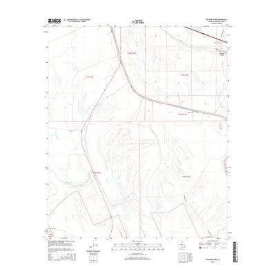
2015 Map of Fortune Fork
USGS Topo · Published 2015About this map
Roundaway Bayou and a complex network of waterways define this corner of Madison Parish, where the settlement of Fortune Fork sits amidst a landscape shaped by ancient river paths. The alluvial terrain is heavily marked by oxbow remnants and drainage channels, including Horseshoe Lake and Brushy Bayou. Local history and genealogy are anchored by rural landmarks such as Mount Celia Cem near the northern boundary and Montrose Cem further south. The map documents the persistent layout of section lines and rural transport, with routes like Old US-65 and Sharky Rd cutting through the lowlands. This detailed record of the mid-2010s shows a region where human activity is closely tied to the natural hydrology of Gar Bayou and Alligator Bayou.
Find a feature on this map
21 named features on this map. Tap any name to fly to it.
Don’t see what you’re looking for? This feature index may not catch every label — zoom into the map to look around manually.
Map Details
Editions of this 2015 Fortune Fork Map
This is the sole edition of this map. No revisions or reprints were ever made.
Other maps of this area

1909 · Millikens Bend
USGS Topo · 1:24,000

1909 · Tallulah
USGS Topo · 1:24,000

1909 · Mound
USGS Topo · 1:24,000

1910 · Mound
USGS Topo · 1:31,680

1935 · Waverly
USGS Topo · 1:62,500

1935 · Shackleford Lake
USGS Topo · 1:62,500

1939 · Talla Bena
USGS Topo · 1:62,500

1955 · Jackson
USGS Topo · 1:250,000

1958 · Shackleford Lake
USGS Topo · 1:62,500

1961 · Jackson
USGS Topo · 1:250,000