
1990 Map of Foss Reservoir
USGS Topo · Published 1991About this map
Black Kettle National Grassland dominates the western landscape of this Roger Mills County region, reflecting the conservation and land-use patterns of the late twentieth century. Centered on the Washita River, the area shows a transition from the agricultural plains to the protected riparian habitats of the Washita National Wildlife Refuge and the recreational waters of Foss Reservoir. The infrastructure of the era is defined by the Atchison Topeka and Santa Fe railroad line, which connects rural hubs like Strong City and Hammon Junction.
Find a feature on this map
65 named features on this map. Tap any name to fly to it.
Don’t see what you’re looking for? This feature index may not catch every label — zoom into the map to look around manually.
Map Details
Editions of this 1990 Foss Reservoir Map
This is the sole edition of this map. No revisions or reprints were ever made.
Other maps of this area

1954 · Perryton
USGS Topo · 1:250,000

1954 · Amarillo
USGS Topo · 1:250,000

1955 · Clinton
USGS Topo · 1:250,000

1955 · Woodward
USGS Topo · 1:250,000
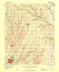
1956 · Cordell
USGS Topo · 1:62,500

1957 · Clinton
USGS Topo · 1:250,000
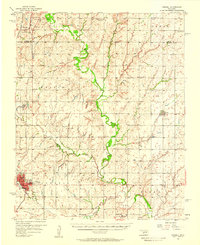
1957 · Butler
USGS Topo · 1:62,500
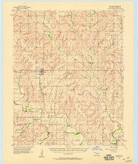
1957 · Clinton
USGS Topo · 1:62,500
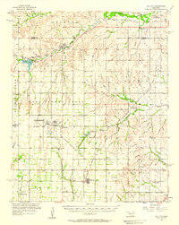
1957 · Dill City
USGS Topo · 1:62,500

1958 · Perryton
USGS Topo · 1:250,000