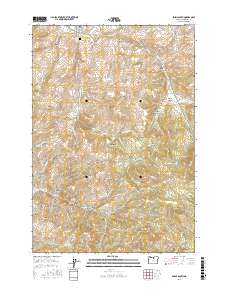
2017 Map of Fossil South
USGS Topo · Published 2017About this map
Fossil anchors the northern edge of this high-desert landscape, where the town's historical presence is marked by the Fossil IOOF Cem. The terrain is defined by a dense network of canyons and peaks, including Steiwer Peaks, Prindle Peak, and Bald Mtn, which separate the various drainage basins of Butte Cr and Cottonwood Cr. A series of family and local names identifies the land's features, from Clymer Canyon and Watson Canyon to the more mysterious The Rafferty.
Find a feature on this map
65 named features on this map. Tap any name to fly to it.
Don’t see what you’re looking for? This feature index may not catch every label — zoom into the map to look around manually.
Map Details
Editions of this 2017 Fossil South Map
This is the sole edition of this map. No revisions or reprints were ever made.
Other maps of this area

1916 · Condon
USGS Topo · 1:125,000

1926 · Mitchell
USGS Topo · 1:125,000

1953 · The Dalles
USGS Topo · 1:250,000

1955 · Bend
USGS Topo · 1:250,000

1956 · The Dalles
USGS Topo · 1:250,000

1957 · Bend
USGS Topo · 1:250,000

1957 · The Dalles
USGS Topo · 1:250,000

1958 · Bend
USGS Topo · 1:250,000

1966 · Kinzua
USGS Topo · 1:62,500

1966 · Clarno
USGS Topo · 1:62,500