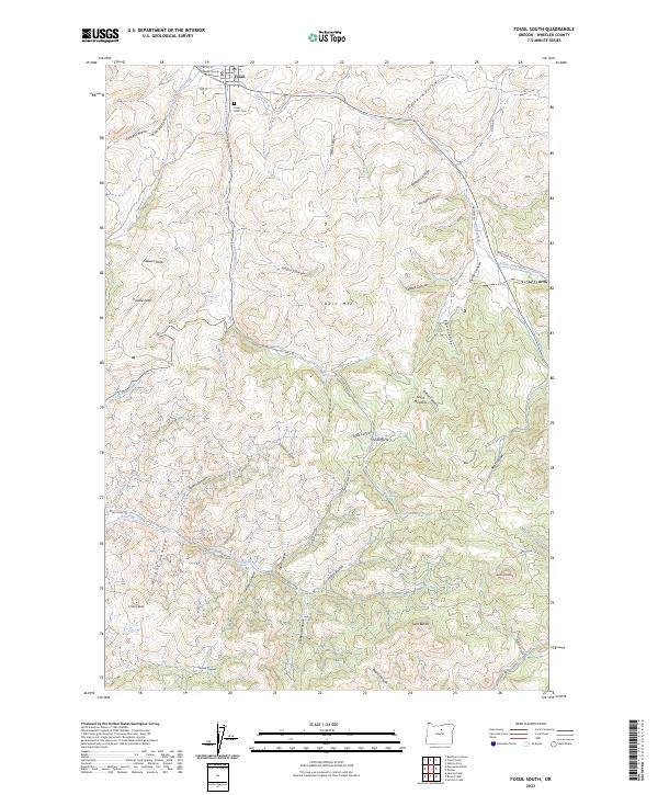
2023 Map of Fossil South
USGS Topo · Published 2023About this map
Fossil serves as the focal point of this Wheeler County terrain, where the Wheeler County Courthouse marks the civic center of the community. The town sits at the confluence of several drainages, including Butte Creek and Stone Cabin Creek, providing a stark contrast to the surrounding high country. To the south of the settlement, the Fossil IOOF Cem rests on a hillside, offering a point of interest for genealogists tracing local families.
Find a feature on this map
64 named features on this map. Tap any name to fly to it.
Don’t see what you’re looking for? This feature index may not catch every label — zoom into the map to look around manually.
Map Details
Editions of this 2023 Fossil South Map
This is the sole edition of this map. No revisions or reprints were ever made.
Other maps of this area

1916 · Condon
USGS Topo · 1:125,000

1926 · Mitchell
USGS Topo · 1:125,000

1953 · The Dalles
USGS Topo · 1:250,000

1955 · Bend
USGS Topo · 1:250,000

1956 · The Dalles
USGS Topo · 1:250,000

1957 · Bend
USGS Topo · 1:250,000

1957 · The Dalles
USGS Topo · 1:250,000

1958 · Bend
USGS Topo · 1:250,000

1966 · Kinzua
USGS Topo · 1:62,500

1966 · Clarno
USGS Topo · 1:62,500