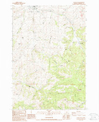
1987 Map of Fossil South
USGS Topo · Published 1988About this map
Fossil sits at the northern edge of this high-desert terrain, where the corporate boundary meets the base of Fossil Butte. The landscape is defined by a dense network of drainages including Cottonwood Creek and Pine Creek, reflecting a territory deeply carved by water. Evidence of local administration and land management is visible through the State Forestry Headquarters and a remote Lookout, while the presence of a Cem near the town center provides a focal point for genealogical research.
Find a feature on this map
60 named features on this map. Tap any name to fly to it.
Don’t see what you’re looking for? This feature index may not catch every label — zoom into the map to look around manually.
Map Details
Editions of this 1987 Fossil South Map
This is the sole edition of this map. No revisions or reprints were ever made.
Other maps of this area

1916 · Condon
USGS Topo · 1:125,000

1926 · Mitchell
USGS Topo · 1:125,000

1953 · The Dalles
USGS Topo · 1:250,000

1955 · Bend
USGS Topo · 1:250,000

1956 · The Dalles
USGS Topo · 1:250,000

1957 · Bend
USGS Topo · 1:250,000

1957 · The Dalles
USGS Topo · 1:250,000

1958 · Bend
USGS Topo · 1:250,000

1966 · Kinzua
USGS Topo · 1:62,500

1966 · Clarno
USGS Topo · 1:62,500