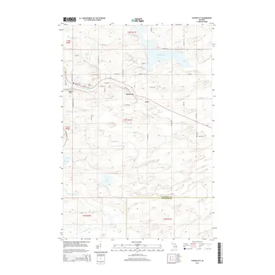
2014 Map of Foster City
USGS Topo · Published 2014About this map
Foster City and the neighboring settlements of Hardwood and Hylas anchor this Upper Peninsula landscape along the M-69 corridor. The geography is defined by a dense network of water, including the E Br Sturgeon River and the larger Sturgeon River to the south, alongside the Hardwood Impoundment and S Br Ford River. Local history and genealogy are centered on landmarks like the Foster City Cem and family-named roads such as Swan Peterson Rd, Harry Peterson Rd, and Kime Backlund Rd. The distribution of these roads, including Boarding House Rd, reflects a legacy of timber and small-scale settlement near numerous waterways like Schultz Cr and Anderson Cr.
Find a feature on this map
57 named features on this map. Tap any name to fly to it.
Don’t see what you’re looking for? This feature index may not catch every label — zoom into the map to look around manually.
Map Details
Editions of this 2014 Foster City Map
This is the sole edition of this map. No revisions or reprints were ever made.
Other maps of this area

1954 · Escanaba
USGS Topo · 1:250,000

1955 · Vulcan
USGS Topo · 1:24,000

1955 · Norway
USGS Topo · 1:62,500

1955 · Ralph
USGS Topo · 1:62,500

1956 · Foster City
USGS Topo · 1:62,500

1957 · Escanaba
USGS Topo · 1:250,000

1957 · Northland
USGS Topo · 1:62,500

1958 · Escanaba
USGS Topo · 1:250,000

1958 · Marquette
USGS Topo · 1:250,000

1960 · Marquette
USGS Topo · 1:250,000