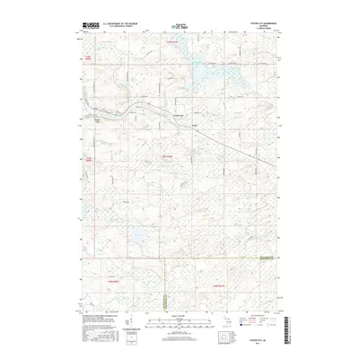
2017 Map of Foster City
USGS Topo · Published 2017About this map
Foster City, Hardwood, and Hylas anchor this Upper Peninsula landscape where the E Br Sturgeon River and Sturgeon River converge. The topography is defined by complex wetlands and a dense network of local roads named for early families, such as Harry Peterson Rd, Swan Peterson Rd, and Erickson Rd. These family-named routes suggest the agricultural and timber history of Breen Township, while the Foster City Cem provides a specific point of interest for genealogists tracing roots in the area.
Find a feature on this map
53 named features on this map. Tap any name to fly to it.
Don’t see what you’re looking for? This feature index may not catch every label — zoom into the map to look around manually.
Map Details
Editions of this 2017 Foster City Map
This is the sole edition of this map. No revisions or reprints were ever made.
Other maps of this area

1954 · Escanaba
USGS Topo · 1:250,000

1955 · Vulcan
USGS Topo · 1:24,000

1955 · Norway
USGS Topo · 1:62,500

1955 · Ralph
USGS Topo · 1:62,500

1956 · Foster City
USGS Topo · 1:62,500

1957 · Escanaba
USGS Topo · 1:250,000

1957 · Northland
USGS Topo · 1:62,500

1958 · Escanaba
USGS Topo · 1:250,000

1958 · Marquette
USGS Topo · 1:250,000

1960 · Marquette
USGS Topo · 1:250,000