2022 Map of Fosters Falls
USGS Topo · Published 2022About this map
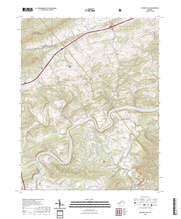
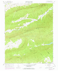
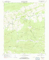
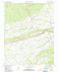
The New River carves a deep, winding path through the borderlands of Wythe and Pulaski counties, dictating the regional topography and transit patterns. Centered on the settlement of Foster Falls, the landscape is defined by the confluence of major waterways and the historical infrastructure built to navigate them. To the south, Little Reed Island Creek joins the main river, while the New River Trail follows the old rail grade along the banks. This modern survey documents a rural landscape where family heritage is preserved in numerous upland burial grounds, including the Drapers Valley Cem, Oglesby Cem, and Graham Cem. The map illustrates the transition from the protected woodlands of the Jefferson National Forest in the northwest to the agricultural reaches of Barrett Ridge Road and the industrial remnants along Boones Furnace Road.
Find a feature on this map
98 named features on this map. Tap any name to fly to it.
Don’t see what you’re looking for? This feature index may not catch every label — zoom into the map to look around manually.
Map Details
Editions of this 2022 Fosters Falls Map
This is the sole edition of this map. No revisions or reprints were ever made.
Historical Maps of Kayoulah Through Time
13 maps found

1930 Speedwell
Wythe County, VA
1935 Groseclose
Wythe County, VA
1939 Speedwell
Wythe County, VA
1965 Fosters Falls
Wythe County, VA
1965 Long Spur
Wythe County, VA
1968 Cripple Creek
Wythe County, VA
1968 Crockett
Wythe County, VA
1968 Speedwell
Wythe County, VA
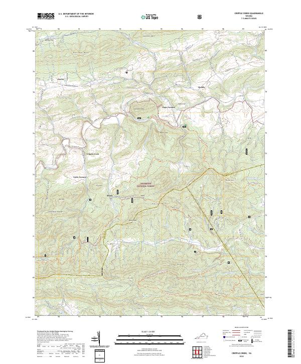
2022 Cripple Creek
Wythe County, VA
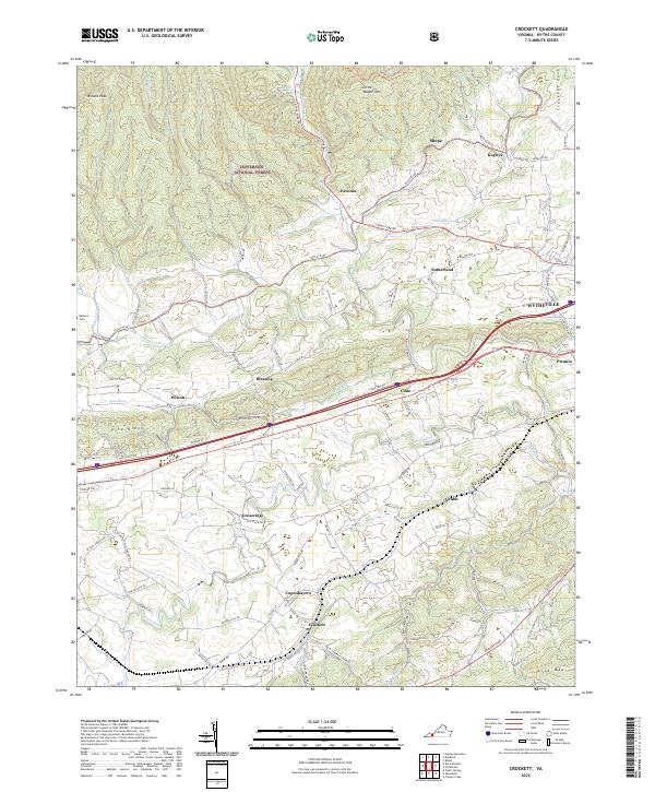
2022 Crockett
Wythe County, VA
2022 Fosters Falls
Wythe County, VA
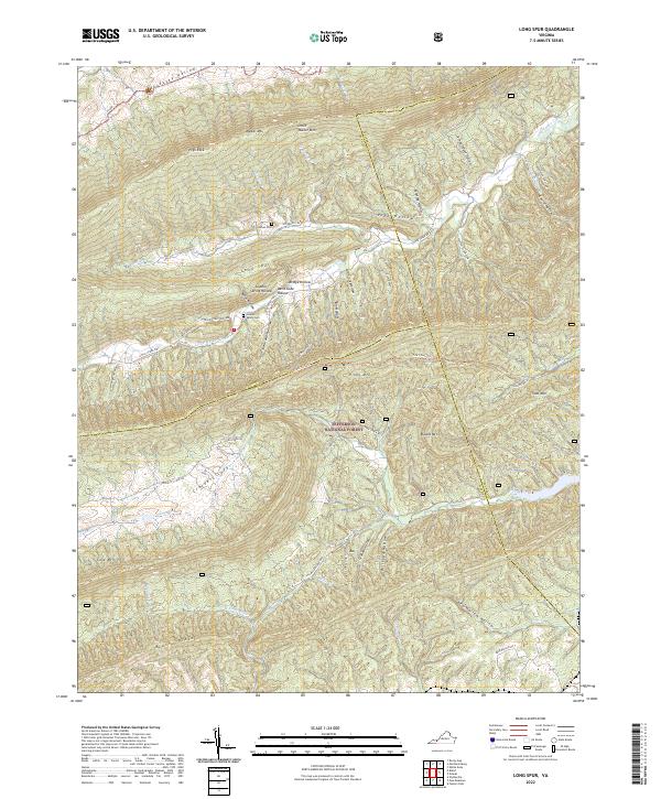
2022 Long Spur
Wythe County, VA
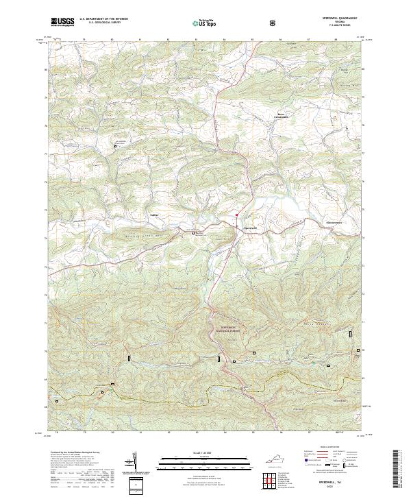
2022 Speedwell
Wythe County, VA