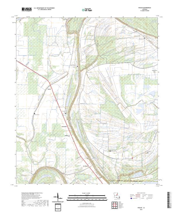
2024 Map of Foules
USGS Topo · Published 2024About this map
The wetlands of Catahoula Parish and Tensas Parish are defined by an intricate network of waterways, including the Tensas River and Lee Bayou. This modern topographic survey illustrates a rural landscape where small settlements like Foules, Greenville, and Wildwood are established along north-south corridors between the bayous. The concentration of local history is evident in the numerous family and community burial grounds scattered across the terrain, such as Greenville Cem, Elder Shade Cem, and New Light Cem.
Find a feature on this map
51 named features on this map. Tap any name to fly to it.
Don’t see what you’re looking for? This feature index may not catch every label — zoom into the map to look around manually.
Map Details
Editions of this 2024 Foules Map
This is the sole edition of this map. No revisions or reprints were ever made.
Other maps of this area

1921 · Natchez
USGS Topo · 1:48,000

1922 · Natchez
USGS Topo · 1:62,500

1939 · Red Gum
USGS Topo · 1:62,500

1939 · Natchez
USGS Topo · 1:62,500

1939 · Locust Ridge
USGS Topo · 1:62,500

1941 · Sicily Island
USGS Topo · 1:62,500

1953 · Natchez
USGS Topo · 1:250,000

1956 · Natchez
USGS Topo · 1:250,000

1957 · Sicily Island
USGS Topo · 1:62,500

1959 · Natchez
USGS Topo · 1:250,000