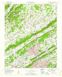
1953 Map of Fountain City
USGS Topo · Published 1954About this map
Blackoak Ridge and Beaver Ridge define the northeast-to-southwest grain of this landscape just north of Knoxville in the early 1950s. The settlement of Fountain City serves as a primary hub, showing a dense residential grid that transitions into industrial and institutional sites like the Beverly Hills Sanatorium and the East Tennessee Tuberculosis Hospital. This era captures the area's mid-century expansion along major arteries like Broadway and the Norris Freeway, while older rural footprints remain visible at Halls Crossroads and Pedigo.
Find a feature on this map
145 named features on this map. Tap any name to fly to it.
Don’t see what you’re looking for? This feature index may not catch every label — zoom into the map to look around manually.
Map Details
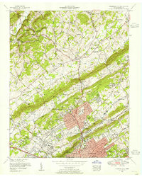
Editions of this 1953 Fountain City Map
2 editions found
Other maps of this area

1886 · Knoxville
USGS Topo · 1:125,000

1892 · Knoxville
USGS Topo · 1:125,000

1893 · Briceville
USGS Topo · 1:125,000

1894 · Knoxville
USGS Topo · 1:125,000

1895 · Loudon
USGS Topo · 1:125,000

1895 · Briceville
USGS Topo · 1:125,000

1895 · Knoxville
USGS Topo · 1:125,000

1896 · Briceville
USGS Topo · 1:125,000

1897 · Maynardville
USGS Topo · 1:125,000

1900 · Maynardville
USGS Topo · 1:125,000