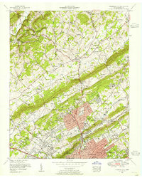
1953 Map of Fountain City
USGS Topo · Published 1955About this map
Fountain City and the northern outskirts of Knoxville are captured here in a period of significant post-war expansion. The landscape is defined by the parallel ridges of Black Oak Ridge and Sharp Ridge, which channel the development of neighborhoods like Inskip, Smithwood, and Highland Park. The map reveals a community well-served by institutions, including the Beverly Hills Sanatorium East Tennessee Tuberculosis Hospital and numerous spiritual centers such as Mayes Chapel and Black Oak Heights Church.
Find a feature on this map
112 named features on this map. Tap any name to fly to it.
Don’t see what you’re looking for? This feature index may not catch every label — zoom into the map to look around manually.
Map Details
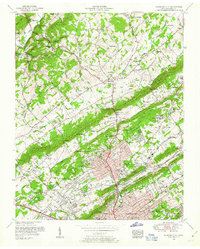
Editions of this 1953 Fountain City Map
2 editions found
Other maps of this area

1886 · Knoxville
USGS Topo · 1:125,000

1892 · Knoxville
USGS Topo · 1:125,000

1893 · Briceville
USGS Topo · 1:125,000

1894 · Knoxville
USGS Topo · 1:125,000

1895 · Loudon
USGS Topo · 1:125,000

1895 · Briceville
USGS Topo · 1:125,000

1895 · Knoxville
USGS Topo · 1:125,000

1896 · Briceville
USGS Topo · 1:125,000

1897 · Maynardville
USGS Topo · 1:125,000

1900 · Maynardville
USGS Topo · 1:125,000