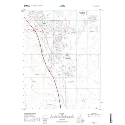
2019 Map of Fountain
USGS Topo · Published 2019About this map
Fountain and the southern suburban reaches of Colorado Springs define this landscape along the Fountain Cr corridor. By the late 2010s, the residential growth in Widefield and Security is prominently displayed through an extensive network of streets and boulevards like Grinnell Blvd and S Powers Blvd. The map illustrates the critical role of water management in this arid environment, showing significant infrastructure such as the Big Johnson Reservoir, McCray Reservoir, and the Chilcotte Canal Number 27.
Find a feature on this map
185 named features on this map. Tap any name to fly to it.
Don’t see what you’re looking for? This feature index may not catch every label — zoom into the map to look around manually.
Map Details
Editions of this 2019 Fountain Map
This is the sole edition of this map. No revisions or reprints were ever made.
Other maps of this area

1893 · Colorado Springs
USGS Topo · 1:125,000

1909 · Colorado Springs
USGS Topo · 1:125,000

1942 · Colorado Springs
USGS Topo · 1:125,000

1948 · Timber Mountain
USGS Topo · 1:24,000

1948 · Fountain SE
USGS Topo · 1:24,000

1948 · Colorado Springs
USGS Topo · 1:62,500

1948 · Fountain
USGS Topo · 1:24,000

1948 · Colorado Springs
USGS Topo · 1:24,000

1948 · Cheyenne Mountain
USGS Topo · 1:24,000

1948 · Falcon
USGS Topo · 1:62,500