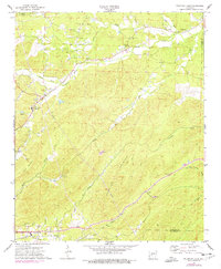
1972 Map of Fountain Lake
USGS Topo · Published 1977About this map
Hot Springs Village and the developing outskirts of the Garland County area are captured in this mid-1970s topographic study. The landscape is defined by the winding course of the South Fork Saline River and the prominent ridge of Grapevine Mountain. Local social centers and family histories are anchored by several rural congregations and burial grounds, including Oak Hill Ch, Rockdale Ch, and the Medlock Cem.
Find a feature on this map
33 named features on this map. Tap any name to fly to it.
Don’t see what you’re looking for? This feature index may not catch every label — zoom into the map to look around manually.
Map Details
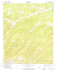
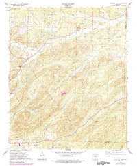
Editions of this 1972 Fountain Lake Map
3 editions found
Other maps of this area

1890 · Benton
USGS Topo · 1:125,000

1890 · Hot Springs
USGS Topo · 1:125,000

1894 · Hot Springs
USGS Topo · 1:125,000

1894 · Benton
USGS Topo · 1:125,000

1948 · Malvern
USGS Topo · 1:62,500

1949 · Malvern
USGS Topo · 1:62,500

1955 · Little Rock
USGS Topo · 1:250,000

1956 · Little Rock
USGS Topo · 1:250,000

1960 · Little Rock
USGS Topo · 1:250,000

1964 · Little Rock
USGS Topo · 1:250,000