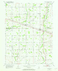
1952 Map of Fountaintown
USGS Topo · Published 1977About this map
The Baltimore and Ohio railroad corridor anchors this mid-century look at the borderlands between Hancock and Shelby Counties, connecting the small settlements of Maxwell, Reedville Sta, Finly, and Fountaintown. This area is defined by a dense network of agricultural drainage, with numerous named ditches like Ashcraft Ditch, Mac Dougall Ditch, and Thompson Ditch feeding into Sugar Creek and Brandywine Creek.
Find a feature on this map
42 named features on this map. Tap any name to fly to it.
Don’t see what you’re looking for? This feature index may not catch every label — zoom into the map to look around manually.
Map Details
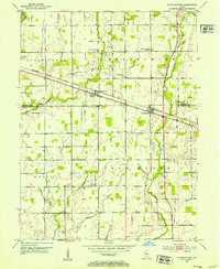
Editions of this 1952 Fountaintown Map
3 editions found
Other maps of this area

1952 · Cumberland
USGS Topo · 1:24,000

1952 · Greenfield
USGS Topo · 1:24,000

1952 · Fountaintown
USGS Topo · 1:24,000

1953 · Shelbyville
USGS Topo · 1:24,000

1953 · Acton
USGS Topo · 1:24,000

1953 · Boggstown
USGS Topo · 1:24,000

1953 · Cincinnati
USGS Topo · 1:250,000

1956 · Cleveland
USGS Topo · 1:24,000

1956 · Morristown
USGS Topo · 1:24,000

1956 · Rays Crossing
USGS Topo · 1:24,000