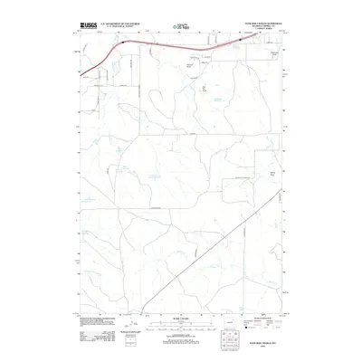
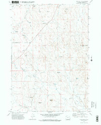
2012 Map of Four Bar J Ranch
USGS Topo · Published 2012About this map
Coal Mine Reservoir and numerous other small basins define the hydraulic landscape of this Campbell County terrain, reflecting a ranching economy reliant on managed water sources. The area is marked by a network of drainages such as Bluegate Cr, Wild Horse Cr, and Donkey Cr which carve through the plains. The land is organized around family-named infrastructure and agricultural roads, including Lowery Ranch Rd and Lowery Rd.
Find a feature on this map
41 named features on this map. Tap any name to fly to it.
Don’t see what you’re looking for? This feature index may not catch every label — zoom into the map to look around manually.
Map Details
Editions of this 2012 Four Bar J Ranch Map
This is the sole edition of this map. No revisions or reprints were ever made.
Other maps of this area

1954 · Gillette
USGS Topo · 1:250,000

1955 · Gillette
USGS Topo · 1:250,000

1958 · Gillette
USGS Topo · 1:250,000

1962 · Gillette
USGS Topo · 1:250,000

1971 · Scaper Reservoir
USGS Topo · 1:24,000
1971 · Double Tanks
USGS Topo · 1:24,000
1971 · Scott Dam
USGS Topo · 1:24,000

1971 · Oriva
USGS Topo · 1:24,000
1971 · Pleasantdale
USGS Topo · 1:24,000
1971 · Appel Butte
USGS Topo · 1:24,000