
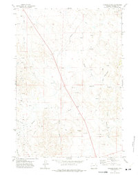
1971 Map of Oriva
USGS Topo · Published 1974About this map
Rawhide Creek and its many tributaries, including Bekebrede Draw and Bennor Draw, carve a complex drainage pattern across this Campbell County landscape in the early 1970s. The settlement of Oriva serves as a small focal point along the Burlington Northern railroad line, supported by industrial infrastructure like a local Refinery and a Storage Bin. The map documents a period of significant energy development, dominated by the sprawling Kitty Oil and Gas Field. Numerous Oil Wells and a network of pipelines crisscross the terrain, illustrating the region's mid-century transition into a major petroleum producer. Rural access is maintained via Echeta Road and Montgomery Road, connecting isolated ranching features like Red Hill Spring and Force Res to the rail corridor.
Find a feature on this map
23 named features on this map. Tap any name to fly to it.
Don’t see what you’re looking for? This feature index may not catch every label — zoom into the map to look around manually.
Map Details
Editions of this 1971 Oriva Map
This is the sole edition of this map. No revisions or reprints were ever made.
Other maps of this area

1954 · Gillette
USGS Topo · 1:250,000

1955 · Gillette
USGS Topo · 1:250,000

1958 · Gillette
USGS Topo · 1:250,000

1962 · Gillette
USGS Topo · 1:250,000
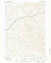
1971 · Scott Dam
USGS Topo · 1:24,000

1971 · Oriva NW
USGS Topo · 1:24,000
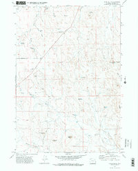
1971 · Appel Butte
USGS Topo · 1:24,000
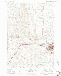
1971 · Gillette West
USGS Topo · 1:24,000
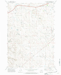
1971 · Four Bar J Ranch
USGS Topo · 1:24,000
1971 · Rawhide School
USGS Topo · 1:24,000