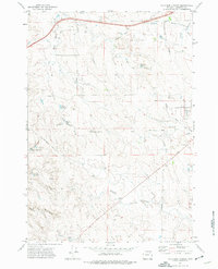
1971 Map of Four Bar J Ranch
USGS Topo · Published 1975About this map
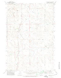
Wild Horse Creek and Caballo Creek meander through this Campbell County landscape, defined by a ranching and energy-extraction economy in the early 1970s. The map reveals a high concentration of Oil Wells and Drill Holes interspersed with livestock infrastructure, including numerous small impoundments such as Denton Reservoir and North School Section Reservoir. At the southern edge, the Four Bar J Ranch serves as a primary local landmark, while the Bethlehem Ch stands near the eastern boundary along Clarkelen Road. This survey documents a critical period of development in the Powder River Basin, where traditional rangeland water sources like Spring Draw and Waterhole Draw exist alongside industrial activity. Rural transit is facilitated by routes such as Schoonover Road, connecting isolated homesteads and reservoirs across the undulating terrain.
Find a feature on this map
28 named features on this map. Tap any name to fly to it.
Don’t see what you’re looking for? This feature index may not catch every label — zoom into the map to look around manually.
Map Details
Editions of this 1971 Four Bar J Ranch Map
2 editions found
Other maps of this area

1954 · Gillette
USGS Topo · 1:250,000

1955 · Gillette
USGS Topo · 1:250,000

1958 · Gillette
USGS Topo · 1:250,000

1962 · Gillette
USGS Topo · 1:250,000

1971 · Scaper Reservoir
USGS Topo · 1:24,000
1971 · Double Tanks
USGS Topo · 1:24,000
1971 · Scott Dam
USGS Topo · 1:24,000

1971 · Oriva
USGS Topo · 1:24,000
1971 · Pleasantdale
USGS Topo · 1:24,000
1971 · Appel Butte
USGS Topo · 1:24,000