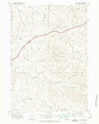
1971 Map of Scott Dam
USGS Topo · Published 1974About this map
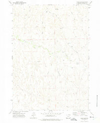
Barlow Ranch sits at the heart of this Wyoming landscape, positioned near the intersection of Kingsbury Road and Schoonover Road. This 1970s survey captures a semi-arid rangeland defined by its water management and resource extraction, where the topography is etched with numerous named draws such as Johnson Draw and Bushnell Draw. The region relies heavily on small-scale impoundments, including Scott Dam, Chokecherry Dam, and Buffalo Wallow Dam, which support livestock and local land use.
Find a feature on this map
27 named features on this map. Tap any name to fly to it.
Don’t see what you’re looking for? This feature index may not catch every label — zoom into the map to look around manually.
Map Details
Editions of this 1971 Scott Dam Map
This is the sole edition of this map. No revisions or reprints were ever made.
Other maps of this area

1954 · Gillette
USGS Topo · 1:250,000

1955 · Gillette
USGS Topo · 1:250,000

1958 · Gillette
USGS Topo · 1:250,000

1962 · Gillette
USGS Topo · 1:250,000
1971 · Double Tanks
USGS Topo · 1:24,000

1971 · Oriva
USGS Topo · 1:24,000
1971 · Pleasantdale
USGS Topo · 1:24,000
1971 · Four Bar J Ranch
USGS Topo · 1:24,000
1971 · Bogie Draw
USGS Topo · 1:24,000
1971 · Morgan Draw
USGS Topo · 1:24,000