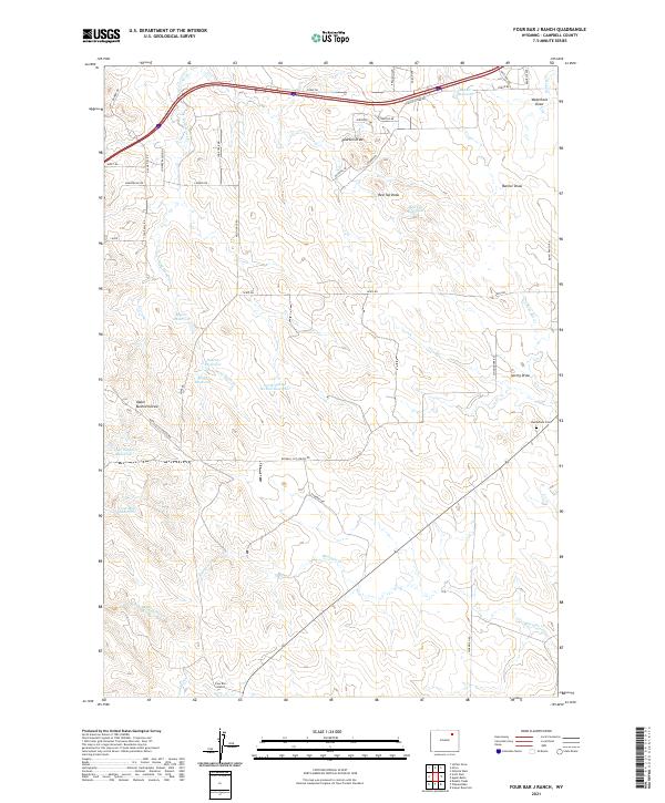
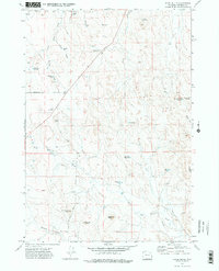
2021 Map of Four Bar J Ranch
USGS Topo · Published 2021About this map
Four Bar J Ranch and a network of livestock watering sources define this high plains landscape in eastern Wyoming. The terrain is deeply inscribed by seasonal drainages like Pearson Draw and Spring Draw, which feed a series of upland impoundments including Myrtle Reservoir, Denton Reservoir, and the Coal-Mine Reservoir. These water features suggest a land dedicated to cattle and sheep ranching, where the management of surface water is critical for survival. Settlement is sparse, anchored by named ranching operations and the quiet presence of Bethlehem Cem in the eastern section.
Find a feature on this map
47 named features on this map. Tap any name to fly to it.
Don’t see what you’re looking for? This feature index may not catch every label — zoom into the map to look around manually.
Map Details
Editions of this 2021 Four Bar J Ranch Map
This is the sole edition of this map. No revisions or reprints were ever made.
Other maps of this area

1954 · Gillette
USGS Topo · 1:250,000

1955 · Gillette
USGS Topo · 1:250,000

1958 · Gillette
USGS Topo · 1:250,000

1962 · Gillette
USGS Topo · 1:250,000

1971 · Scaper Reservoir
USGS Topo · 1:24,000
1971 · Double Tanks
USGS Topo · 1:24,000
1971 · Scott Dam
USGS Topo · 1:24,000

1971 · Oriva
USGS Topo · 1:24,000
1971 · Pleasantdale
USGS Topo · 1:24,000
1971 · Appel Butte
USGS Topo · 1:24,000