
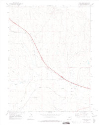
1970 Map of Four Corners
USGS Topo · Published 1973About this map
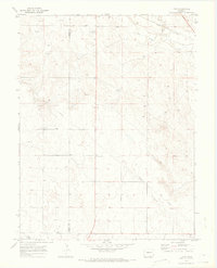
Four Corners sits at the intersection of the Elbert Co Lincoln Co boundary on this High Plains survey. The landscape is defined by the ephemeral drainage of Big Sandy Creek and its tributary, Long Branch, which flow through a terrain marked by a prominent Dune and scattered Wells. The infrastructure of the era is represented by a major Pipeline cutting across the southeastern quadrant and the Union Pacific railroad tracks following the creek valley in the north. Local social and economic activity is concentrated near the Limon Country Club and a Gravel Pit, while a small Cem provides a point of interest for genealogists tracing early families in this section of Lincoln County. The mapping by the U.S. Geological Survey preserves the specific placement of these isolated rural landmarks during the early 1970s.
Find a feature on this map
14 named features on this map. Tap any name to fly to it.
Don’t see what you’re looking for? This feature index may not catch every label — zoom into the map to look around manually.
Map Details
Editions of this 1970 Four Corners Map
2 editions found
Other maps of this area

1891 · Limon
USGS Topo · 1:125,000

1892 · Limon
USGS Topo · 1:125,000

1954 · Limon
USGS Topo · 1:250,000

1957 · Limon
USGS Topo · 1:250,000

1958 · Limon
USGS Topo · 1:250,000
1970 · Matheson SE
USGS Topo · 1:24,000

1970 · Limon
USGS Topo · 1:24,000
1970 · Long Creek
USGS Topo · 1:24,000
1970 · Matheson NE
USGS Topo · 1:24,000
1970 · River Bend
USGS Topo · 1:24,000