
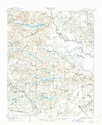
1908 Map of Four Oaks
USGS Topo · Published 1908About this map
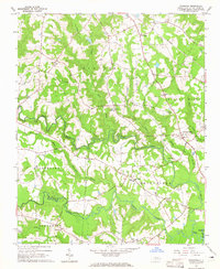
Four Oaks stands as a primary hub along the Atlantic Coast Line in this early twentieth-century survey of Johnston County. The landscape is defined by the winding course of the Neuse River and its intricate drainage network, including Stone Creek and Mill Creek. This era reveals a rural society structured around named crossroads and country stores that served as vital community anchors, such as Peacocks Crossroads, Tarts Store, and Blackmon Crossroads.
Find a feature on this map
84 named features on this map. Tap any name to fly to it.
Don’t see what you’re looking for? This feature index may not catch every label — zoom into the map to look around manually.
Map Details
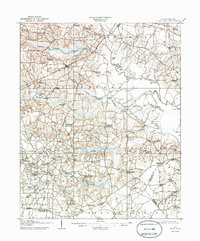
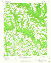
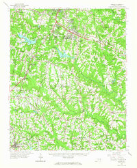
Editions of this 1908 Four Oaks Map
3 editions found
Other maps of this area

1902 · Kenly
USGS Topo · 1:62,500

1903 · Kenly
USGS Topo · 1:62,500

1906 · Four Oaks
USGS Topo · 1:48,000
1909 · Coharie
USGS Topo · 1:62,500

1953 · Raleigh
USGS Topo · 1:250,000

1954 · Raleigh
USGS Topo · 1:250,000
1964 · Selma
USGS Topo · 1:62,500
1964 · Edmondson
USGS Topo · 1:24,000
1964 · Garner
USGS Topo · 1:62,500
1964 · Powhatan
USGS Topo · 1:24,000