
1963 Map of Fourche SW
USGS Topo · Published 1964About this map
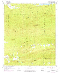
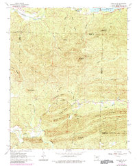
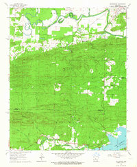
The North Fork Saline River and the Maumelle River define the topographic character of this Saline and Pulaski County borderland. In the early 1960s, the landscape was a complex network of high ridges and narrow creek valleys, dominated by elevations like Pigeon Roost Mountain and Moss Mountain. Local community life is anchored by the Smyrna Ch and the Cold Spring Cem, located near the southern slopes of Cold Spring Mountain. The infrastructure of the era is evident in the Aqueduct crossing near the Little Maumelle River, alongside an old Railroad Grade that points to former timber or transport routes. Settlement is sparse, appearing primarily as isolated structures along the winding valley floors near Mud Hole Branch and Allens Creek. The northern edge of the sheet is bounded by the expansive Lake Maumelle, which contrasts sharply with the high, named peaks such as Crystal Mountain and Rattlesnake Mountain.
Find a feature on this map
41 named features on this map. Tap any name to fly to it.
Don’t see what you’re looking for? This feature index may not catch every label — zoom into the map to look around manually.
Map Details
Editions of this 1963 Fourche SW Map
3 editions found
Other maps of this area

1890 · Benton
USGS Topo · 1:125,000

1894 · Benton
USGS Topo · 1:125,000

1938 · Benton
USGS Topo · 1:48,000

1944 · Benton
USGS Topo · 1:62,500

1955 · Little Rock
USGS Topo · 1:250,000

1956 · Little Rock
USGS Topo · 1:250,000

1960 · Little Rock
USGS Topo · 1:250,000
1961 · Fourche
USGS Topo · 1:24,000
1963 · Thornburg
USGS Topo · 1:24,000
1963 · Martindale
USGS Topo · 1:24,000