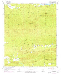
1963 Map of Fourche SW
USGS Topo · Published 1976About this map
Lake Maumelle dominates the northern border of this topographic survey, showing the Spillway Elevation 290 and the path of the Maumelle River as it passes through the terrain of Pulaski and Saline counties. The landscape is characterized by a series of prominent peaks and ridgelines, including Crystal Mountain, Rattlesnake Mountain, and Pigeon Roost Mountain, while the southern portion transitions into the drainage of the North Fork Saline River.
Find a feature on this map
44 named features on this map. Tap any name to fly to it.
Don’t see what you’re looking for? This feature index may not catch every label — zoom into the map to look around manually.
Map Details
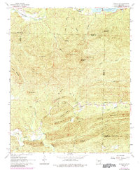
Editions of this 1963 Fourche SW Map
3 editions found
Other maps of this area

1890 · Benton
USGS Topo · 1:125,000

1894 · Benton
USGS Topo · 1:125,000

1938 · Benton
USGS Topo · 1:48,000

1944 · Benton
USGS Topo · 1:62,500

1955 · Little Rock
USGS Topo · 1:250,000

1956 · Little Rock
USGS Topo · 1:250,000

1960 · Little Rock
USGS Topo · 1:250,000
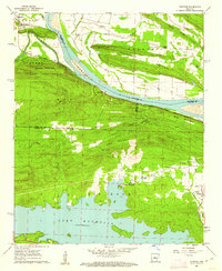
1961 · Fourche
USGS Topo · 1:24,000
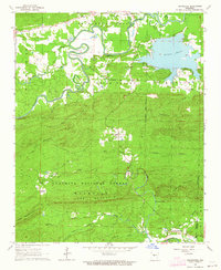
1963 · Thornburg
USGS Topo · 1:24,000

1963 · Fourche SW
USGS Topo · 1:24,000