
2020 Map of Fourmile Bench
USGS Topo · Published 2020About this map
Fourmile Bench rises as a dominant high plateau in this corner of Kane County, defined by a complex network of deeply incised drainages. The landscape is characterized by its dramatic vertical relief, where several canyons converge and diverge across the high desert terrain. To the north, Fourmile Canyon carries the waters of Tommy Smith Cr, while the southeastern portion of the map is shaped by the parallel paths of Left Fork John Henry Canyon and Right Fork John Henry Canyon. These drainages feed toward the lower elevations of John Henry Bench. The map details the intricate topography of this area during the early twenty-first century, showing the seasonal watercourses like Smith Run and N Br Cr that have carved this portion of the Colorado Plateau over millennia.
Find a feature on this map
9 named features on this map. Tap any name to fly to it.
Don’t see what you’re looking for? This feature index may not catch every label — zoom into the map to look around manually.
Map Details
Editions of this 2020 Fourmile Bench Map
This is the sole edition of this map. No revisions or reprints were ever made.
Other maps of this area

1886 · Escalante
USGS Topo · 1:250,000

1922 · Upper Last Chance
USGS Topo · 1:63,360

1953 · Nipple Butte
USGS Topo · 1:62,500

1954 · Paria
USGS Topo · 1:62,500

1956 · Escalante
USGS Topo · 1:250,000

1960 · Escalante
USGS Topo · 1:250,000

1964 · Horse Flat
USGS Topo · 1:24,000
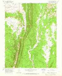
1964 · Butler Valley
USGS Topo · 1:24,000

1968 · Fourmile Bench
USGS Topo · 1:24,000
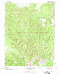
1968 · Petes Cove
USGS Topo · 1:24,000