
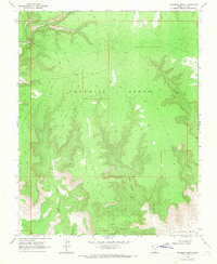
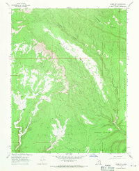
1968 Map of Fourmile Bench
USGS Topo · Published 1970About this map
Fourmile Bench dominates the high plateau of Kane County in this 1968 field-checked survey, revealing a landscape defined by deep drainage systems and isolated cattle-range infrastructure. The terrain is deeply incised by several major canyons, including Wesses Canyon, Clints Canyon, and John Henry Canyon, all of which fall away from the central flats. Named landmarks like John Henry Bench and the drainages of Tommy Smith Creek and Pet Hollow suggest a history of localized ranching or family-associated land use.
Find a feature on this map
14 named features on this map. Tap any name to fly to it.
Don’t see what you’re looking for? This feature index may not catch every label — zoom into the map to look around manually.
Map Details
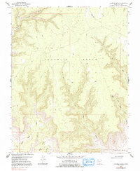
Editions of this 1968 Fourmile Bench Map
3 editions found
Other maps of this area

1886 · Escalante
USGS Topo · 1:250,000

1922 · Upper Last Chance
USGS Topo · 1:63,360

1953 · Nipple Butte
USGS Topo · 1:62,500

1954 · Paria
USGS Topo · 1:62,500

1956 · Escalante
USGS Topo · 1:250,000

1960 · Escalante
USGS Topo · 1:250,000

1964 · Horse Flat
USGS Topo · 1:24,000
1964 · Butler Valley
USGS Topo · 1:24,000
1968 · Petes Cove
USGS Topo · 1:24,000
1968 · Horse Mtn
USGS Topo · 1:24,000