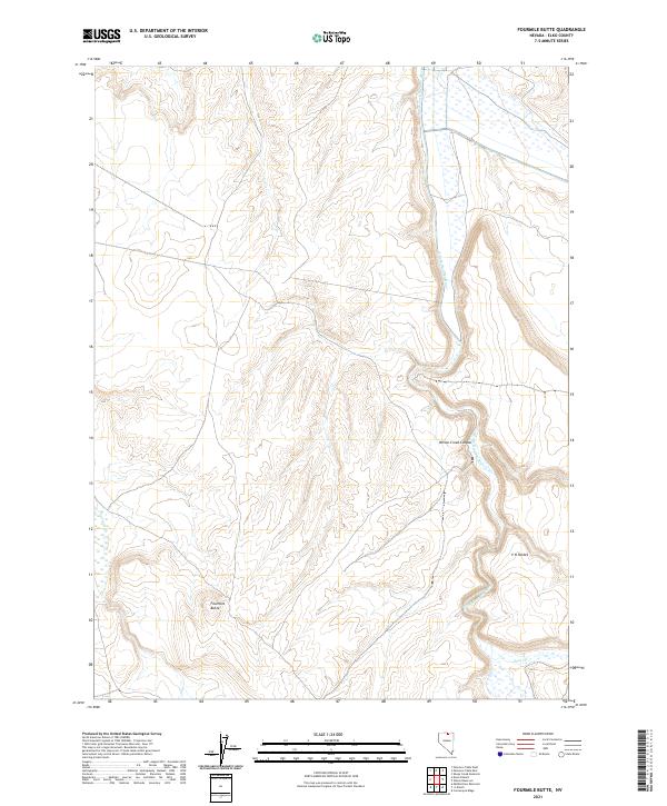
2021 Map of Fourmile Butte
USGS Topo · Published 2021About this map
South Fork Owyhee River carves a significant corridor through this high-desert landscape in northern Nevada, defining the drainage patterns of the region. The river winds through the eastern portion of the quadrangle, joined by smaller tributaries such as Deep Cr and Fourmile Cr. This area is characterized by dramatic landforms, most notably the towering Fourmile Butte which stands as a prominent navigational landmark in the southwestern quadrant. The topography is further distinguished by the secluded V N Pocket and the winding course of Wilson Creek Canyon, illustrating the erosive power of seasonal water across this open range. This 2021 survey provides a clear view of the modern boundaries and water sources within the Elko County rangelands.
Find a feature on this map
13 named features on this map. Tap any name to fly to it.
Don’t see what you’re looking for? This feature index may not catch every label — zoom into the map to look around manually.
Map Details
Editions of this 2021 Fourmile Butte Map
This is the sole edition of this map. No revisions or reprints were ever made.
Other maps of this area

1955 · McDermitt
USGS Topo · 1:250,000

1959 · McDermitt
USGS Topo · 1:250,000

1964 · Hat Peak
USGS Topo · 1:62,500

1964 · Wilson Reservoir
USGS Topo · 1:62,500
1974 · Twelvemile Flat SE
USGS Topo · 1:24,000

1974 · Middle Draw Reservoir
USGS Topo · 1:24,000

1974 · Desert Ranch
USGS Topo · 1:24,000

1982 · Bull Run Mts
USGS Topo · 1:100,000
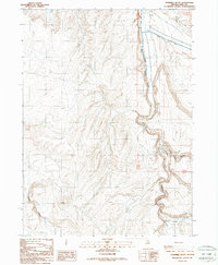
1987 · Fourmile Butte
USGS Topo · 1:24,000
1987 · Cornucopia Ridge
USGS Topo · 1:24,000