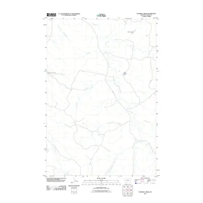
2011 Map of Fourmile Creek
USGS Topo · Published 2011About this map
Foster Creek and its many tributaries, including the North Fork Foster Creek and South Fork Foster Creek, dominate this eastern Montana landscape in Custer County. This drainage system illustrates the typical high-plains water management of the early 21st century, centered on named infrastructure like Nefsy Number 1 Dam, Nefsy Number 2 Dam, and Nefsy Number 4 Dam. These features suggest a ranching-focused economy where seasonal water flow from Fourmile Creek and Ranch Creek is carefully directed. The only significant named thoroughfare, Foster Creek Rd, follows the terrain of the creek valleys, providing the primary access through this sparsely populated stretch of the state. Other watercourses like Lay Creek and Stony Creek define the periphery, highlighting the importance of every drainage in this dry environment.
Find a feature on this map
13 named features on this map. Tap any name to fly to it.
Don’t see what you’re looking for? This feature index may not catch every label — zoom into the map to look around manually.
Map Details
Editions of this 2011 Fourmile Creek Map
This is the sole edition of this map. No revisions or reprints were ever made.
Other maps of this area

1953 · Miles City
USGS Topo · 1:250,000

1954 · Hardin
USGS Topo · 1:250,000

1954 · Ekalaka
USGS Topo · 1:250,000

1954 · Forsyth
USGS Topo · 1:250,000

1956 · Ekalaka
USGS Topo · 1:250,000

1957 · Miles City
USGS Topo · 1:250,000

1957 · Hardin
USGS Topo · 1:250,000

1957 · Forsyth
USGS Topo · 1:250,000

1958 · Miles City
USGS Topo · 1:250,000

1958 · Ekalaka
USGS Topo · 1:250,000