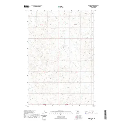
2020 Map of Fourmile Creek
USGS Topo · Published 2020About this map
Fourmile Cr and its network of seasonal drainages define this portion of Custer County, Montana, as it appeared in the early 21st century. The map reveals a remote ranching landscape where infrastructure is sparse, characterized primarily by the long north-south artery of Foster Creek Rd and the Tongue River Rd tracing the western boundary. This survey provides a clear look at the intricate hydrography of the high plains, showing how the N Fork Foster Cr and S Fork Foster Cr converge to feed the larger drainages. The topography is dominated by the dissected breaks and draws typical of the region, where named features like Ranch Cr and Road Cr indicate the historical importance of access routes and water sources for local land management and cattle operations in the Big Sky Country.
Find a feature on this map
18 named features on this map. Tap any name to fly to it.
Don’t see what you’re looking for? This feature index may not catch every label — zoom into the map to look around manually.
Map Details
Editions of this 2020 Fourmile Creek Map
This is the sole edition of this map. No revisions or reprints were ever made.
Other maps of this area

1953 · Miles City
USGS Topo · 1:250,000

1954 · Hardin
USGS Topo · 1:250,000

1954 · Ekalaka
USGS Topo · 1:250,000

1954 · Forsyth
USGS Topo · 1:250,000

1956 · Ekalaka
USGS Topo · 1:250,000

1957 · Miles City
USGS Topo · 1:250,000

1957 · Hardin
USGS Topo · 1:250,000

1957 · Forsyth
USGS Topo · 1:250,000

1958 · Miles City
USGS Topo · 1:250,000

1958 · Ekalaka
USGS Topo · 1:250,000