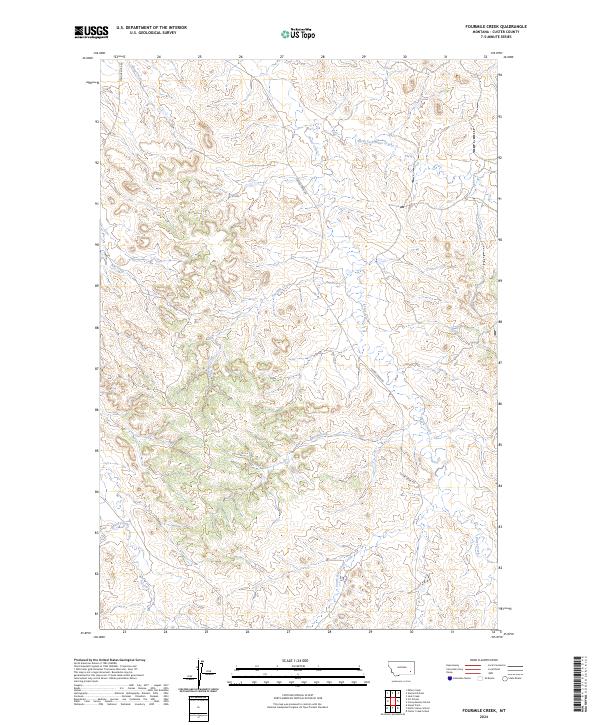
2024 Map of Fourmile Creek
USGS Topo · Published 2024About this map
Fourmile Creek and a network of ephemeral drainages define this portion of Custer County in the 2020s. The landscape is structured by the winding course of Fourmile Creek and the extensive Foster Creek system, which includes the North Fork and South Fork. These waterways cut through the terrain of t3n r46e and surrounding townships, creating a complex topography of ridges and draws.
Find a feature on this map
17 named features on this map. Tap any name to fly to it.
Don’t see what you’re looking for? This feature index may not catch every label — zoom into the map to look around manually.
Map Details
Editions of this 2024 Fourmile Creek Map
This is the sole edition of this map. No revisions or reprints were ever made.
Other maps of this area

1953 · Miles City
USGS Topo · 1:250,000

1954 · Hardin
USGS Topo · 1:250,000

1954 · Ekalaka
USGS Topo · 1:250,000

1954 · Forsyth
USGS Topo · 1:250,000

1956 · Ekalaka
USGS Topo · 1:250,000

1957 · Miles City
USGS Topo · 1:250,000

1957 · Hardin
USGS Topo · 1:250,000

1957 · Forsyth
USGS Topo · 1:250,000

1958 · Miles City
USGS Topo · 1:250,000

1958 · Ekalaka
USGS Topo · 1:250,000