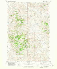
1973 Map of Fourmile Creek
USGS Topo · Published 1977About this map
The Tongue River defines the northwestern corner of this 1973 Montana survey, where the river's winding course creates a narrow fertile corridor against the surrounding dissected plateaus. The landscape is dominated by the complex drainage systems of Fourmile Creek and Ranch Creek, which have carved deep valleys into the terrain. This is a region defined by its water sources, with numerous named springs and wells scattered across the ridges and coulees, supporting the cattle ranching operations that characterize Custer County.
Find a feature on this map
18 named features on this map. Tap any name to fly to it.
Don’t see what you’re looking for? This feature index may not catch every label — zoom into the map to look around manually.
Map Details
Editions of this 1973 Fourmile Creek Map
This is the sole edition of this map. No revisions or reprints were ever made.
Other maps of this area

1953 · Miles City
USGS Topo · 1:250,000

1954 · Hardin
USGS Topo · 1:250,000

1954 · Ekalaka
USGS Topo · 1:250,000

1954 · Forsyth
USGS Topo · 1:250,000

1956 · Ekalaka
USGS Topo · 1:250,000

1957 · Miles City
USGS Topo · 1:250,000

1957 · Hardin
USGS Topo · 1:250,000

1957 · Forsyth
USGS Topo · 1:250,000

1958 · Miles City
USGS Topo · 1:250,000

1958 · Ekalaka
USGS Topo · 1:250,000