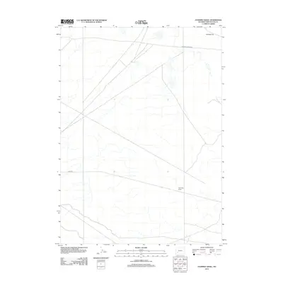
2012 Map of Fourmile Knoll
USGS Topo · Published 2012About this map
The California-Oregon Trl cuts across this high desert landscape of Sweetwater County, marking a historic corridor of western migration that remains etched into the topography. This 2012 survey captures a largely undeveloped expanse of the Wyoming basin, characterized by distinct geographic markers like Fourmile Knoll and the low-lying Sublettes Flat. Aside from the historic trail, the area is served by local infrastructure such as 18 Mile Rd, reflecting the sparse settlement patterns typical of this portion of the state. The map provides a clear view of the drainage patterns and subtle elevation changes that define the terrain surrounding these traditional overland routes.
Find a feature on this map
4 named features on this map. Tap any name to fly to it.
Don’t see what you’re looking for? This feature index may not catch every label — zoom into the map to look around manually.
Map Details
Editions of this 2012 Fourmile Knoll Map
This is the sole edition of this map. No revisions or reprints were ever made.
Other maps of this area

1955 · Lander
USGS Topo · 1:250,000

1958 · Lander
USGS Topo · 1:250,000

1961 · Lander
USGS Topo · 1:250,000

1968 · Farson
USGS Topo · 1:24,000

1968 · Twelvemile Knoll
USGS Topo · 1:24,000
1968 · Eden Reservoir West
USGS Topo · 1:24,000
1968 · Simpson Gulch SE
USGS Topo · 1:24,000
1968 · Simpson Gulch SW
USGS Topo · 1:24,000
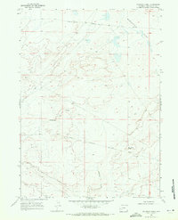
1968 · Fourmile Knoll
USGS Topo · 1:24,000
1969 · Juel Spring
USGS Topo · 1:24,000